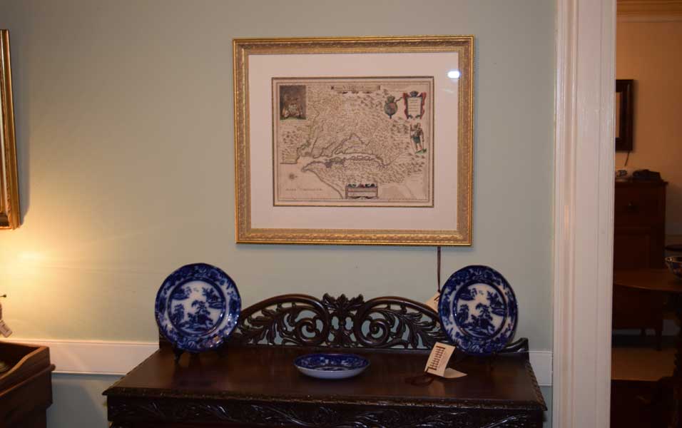
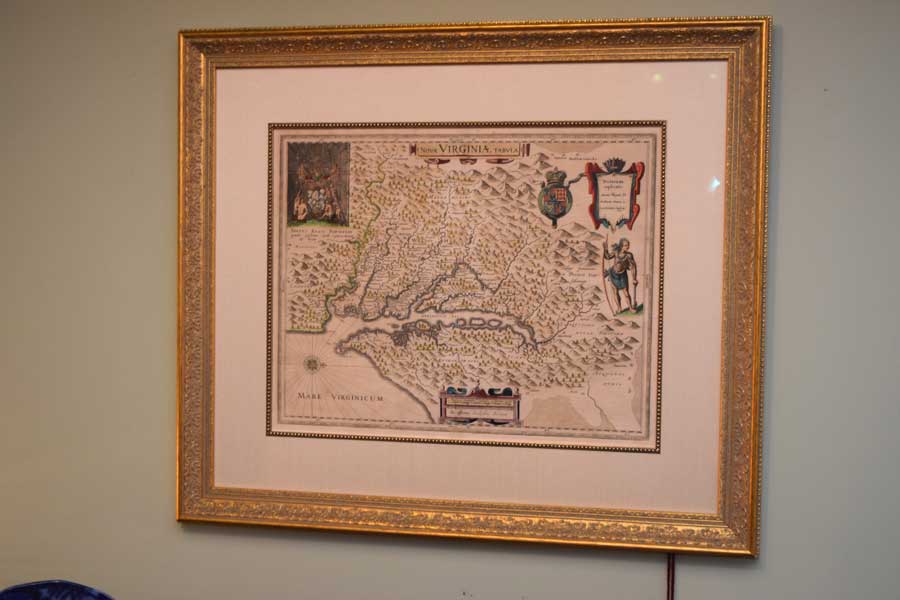
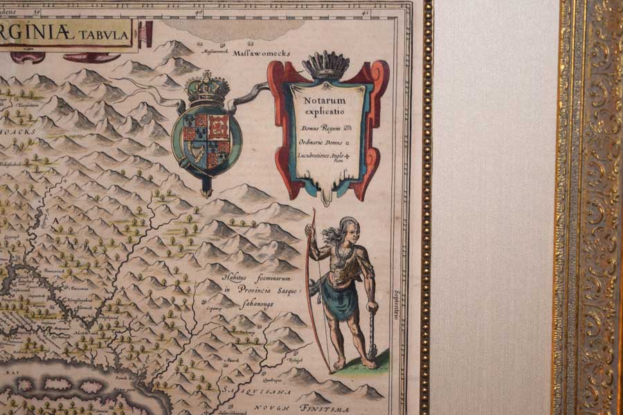
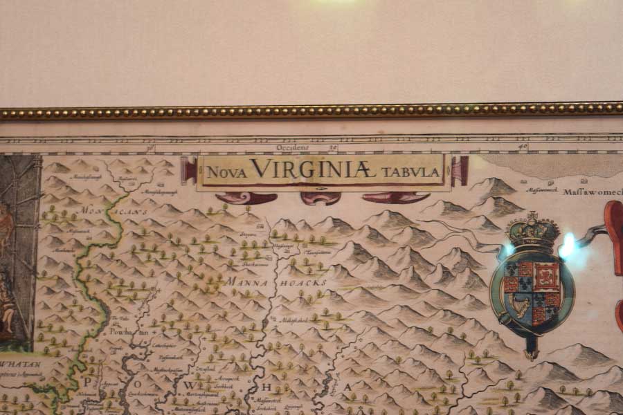
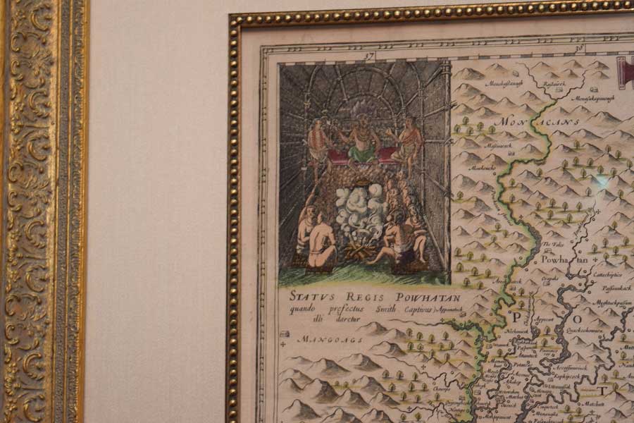
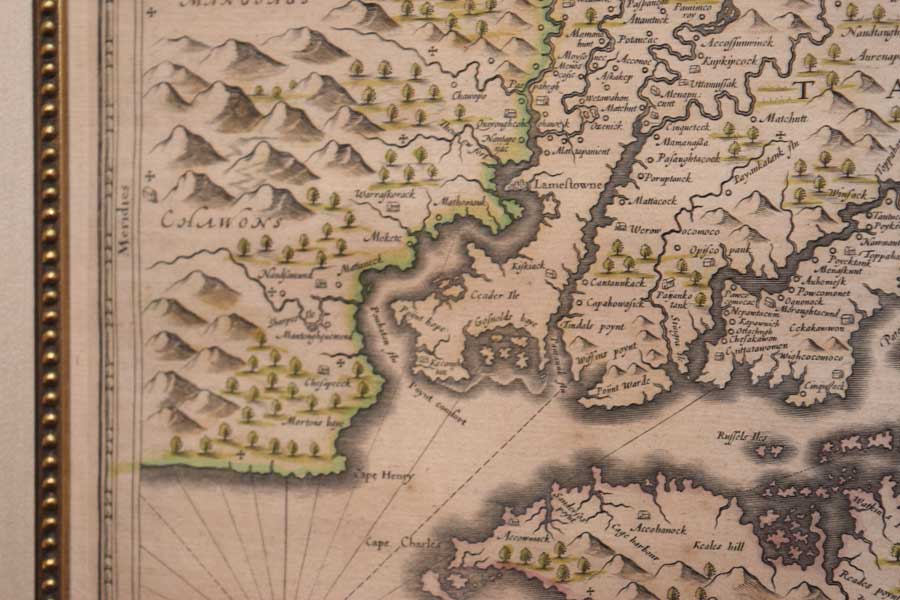
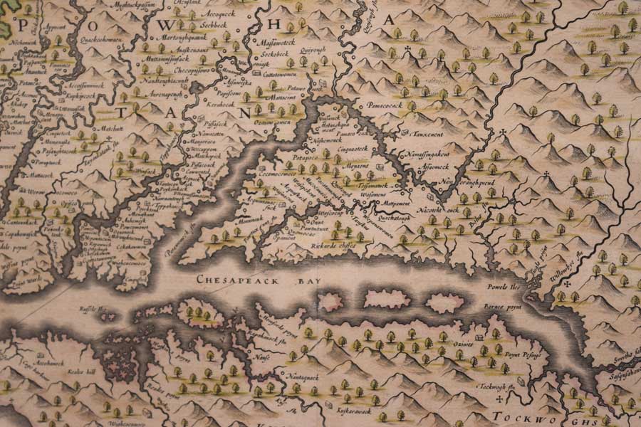
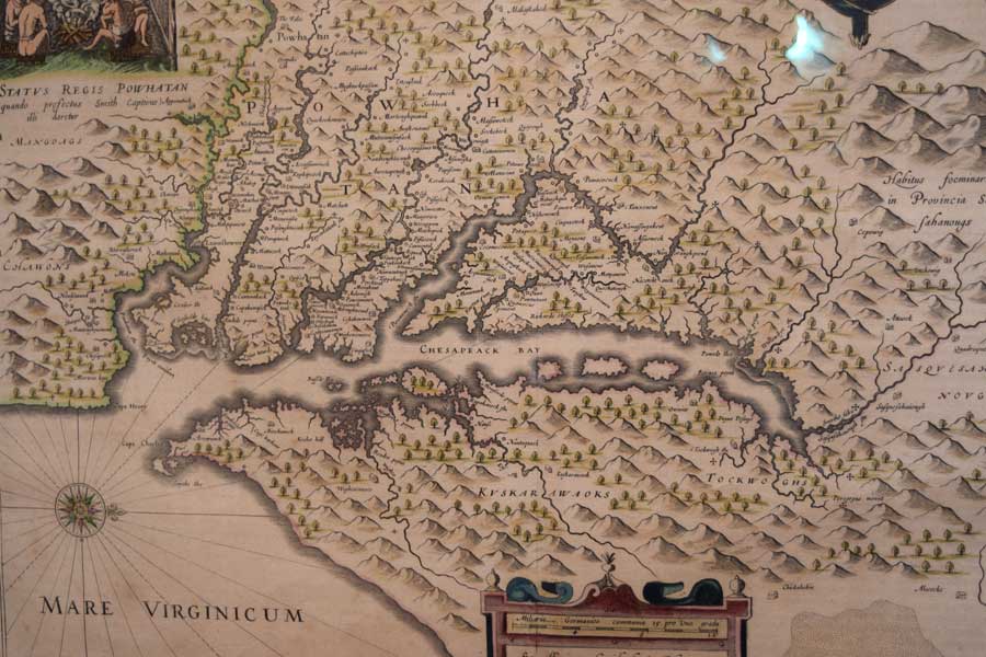
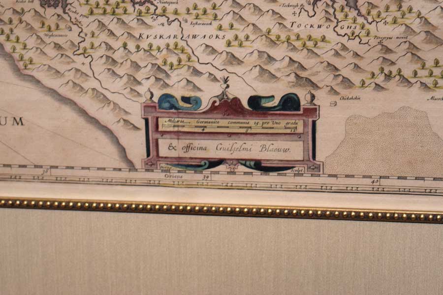
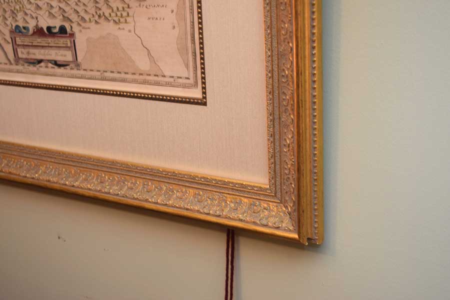
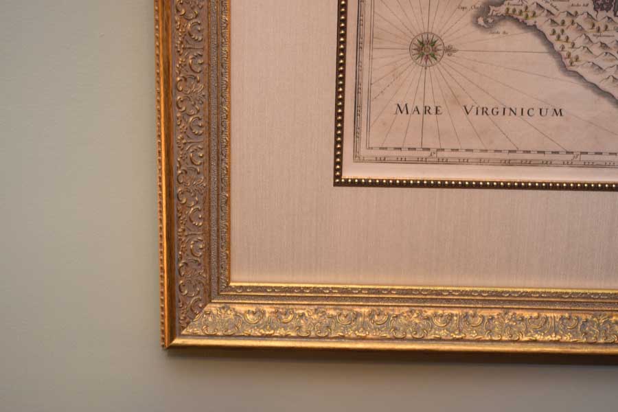
This wonderful map of Virginia was derived from Captain John Smith’s map of 1612. While amazingly accurate, this map shows Jamestown (Lameftowne). In the upper left corner is Chief Powhatan with his wives and children. On the right is a Susquehanna chief in a European pose. Look closely at all of the items on his person. Each was chosen for a specific and symbolic reason.Overall, Bleau’s map is one of the prettiest early maps. Originally owned by Jodocus Hondius Jr. in 1618, Willem Bleau purchased the places from his widow shortly after his death in 1629. Blaeu went on to have a long career and published this map around 1642. We know this by the Dutch writing on the back. Overall, this printing is wonderfully clear and the paper in excellent condition. The coloring does appear to be original. Overall, this map is in outstanding condition. It has been properly framed by us. The frame is 25 ½” by 29 ½” and the image is 15 ½” by 19 ½”. English. Circa 1640’s.
Price: SOLD
If you have any questions or comments and to subscribe to our email list about important updates, recent acquisitions and special deals please fill out the information below.